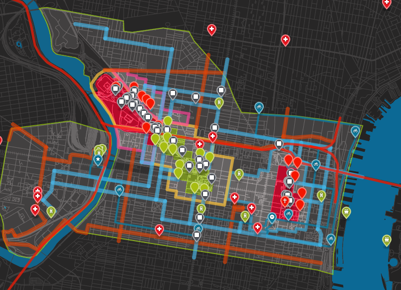
The only map you need for the Pope's visit to Philadelphia this weekend
Last month, AL DÍA made (perhaps the first) zoomable, interactive map of the security zone for the Pope's visit. With the daily flood of new details, we were planning on making an updated, tentatively conclusive map for the visit. (If you're into digital mapmaking, check out the intuitive and fairly sophisticated CartoDB software.) But alas, that won't be necessary anymore.
The only interactive Pope map you'll need is here.
Though stressed that it should not be considered "official," the map aggregates much of the publicly available data about #PopeInPhilly. Security, access, restrictions, routes — you name it, they coded it. Users can toggle the legend to find things like hospitals, walking routes, festival entrances, and jumbotrons (which, for 95 percent of attendees this weekend, will be necessary to see the Holy Father). The map's programmers have been adding new info as it comes, and will continue to update the map (like which IndeGo bike stations will be open) in the coming days.
Note that the red area is for ticketed papal events. The green areas indicates that no tickets are required.
The map also includes an easy-to-read timeline of events and important deadlines: towing enforcement on key streets, when the "traffic box" goes into effect, the revised transit timeframe, and so on.
All thanks goes to the three data wizards — Lauren Ancona, Thomas Fuchs, and Mjumbe Poe — who volunteered their time to provide this invaluable tool.









DEJE UN COMENTARIO: